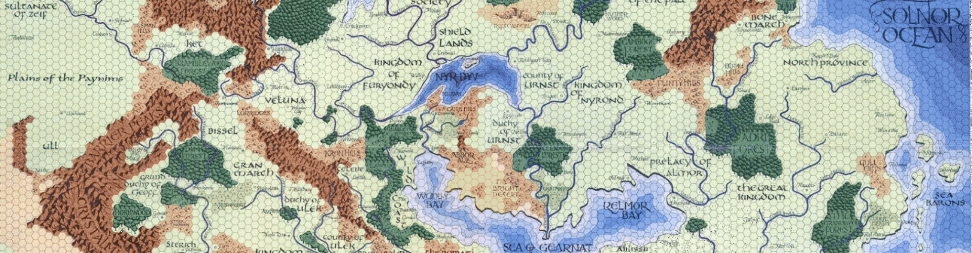
Behold another effort in my Mapping Beyond the Flanaess series. This map covers the eastern portion of the Celestial Imperium of Suhfang, the eastern half of the humanoid empire known as Orcreich, the the Gulf of Ghayar region which marks the westernmost edge of the Baklunish lands. I’m including the map of the Golden Jungle region so you can see how they fit together.
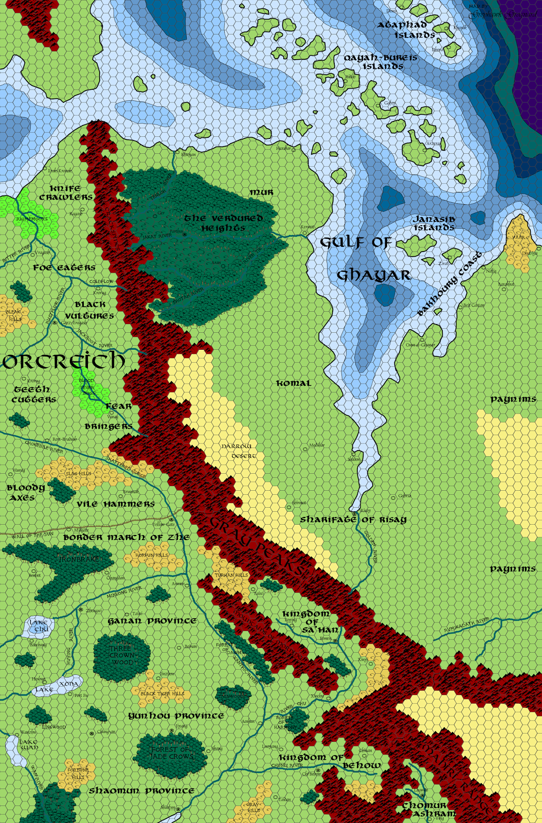

I had to take a liberty with the Ataphad islands in the northeast corner of the map. Some sources have them slightly more eastward than I have them here, but it was necessary to scoot them a bit to the west in order to accommodate the ocean depth lines on the left edge of the original Darlene map that came with the 1980 folio and gold boxed set.
I deliberately eschewed the fan-created material surrounding the Gulf of Ghayar (Istustan, mostly), for the same reason I did so with the Golden Jungle map. I’m trying to start solely from canon, and then filling in the missing details as seems best to me. In doing the research for this map, I was a bit surprised to see just how much canon material there is for the western Baklunish region. Risay, the Gulf of Ghayar, the islands, Komal, Mur, etc. all appear in published sources. We also see the last three of the nations bordering the Sea of Dust as mentioned in Gary Gygax’s novel Sea of Death; Sa’Han, Behow, and Chomur.
The full-sized .png file for the map can be found in the free resources section over to the right. I’m still working on the gazetteer covering these maps, but the pace of my cartography is outstripping my writing for now. It is coming, however, and a lot of the details for the various provinces of the Celestial Imperium, the tribes of the Orcreich, etc. are on the way. Please, though; I know a lot of people don’t like Orcreich as a name. No need to harp on the fact that I used it. It’s canon, I don’t mind it, and I used it. Feel free to call it Darak Urtag or whatever you want in your own game.
Up next: I go west, covering the remainder of Orcreich, the central region of the Celestial Imperium, and the Low Khanate. Expect a revision to this map once the next one comes out; I wouldn’t be a bit surprised of some labels and such need to be moved around near the left edge of this map.
____________________
Also, please take a minute to check out the Adventures Dark and Deep Kickstarter campaign. Help make the ADD rules supplement, suitable for use with all 1E-compatible games, a reality!


You're on fire with this stuff right now, Joe! Kudos again. I only wish I had the time to give it all the detailed appraisal it deserves.
Thank you Joseph. There may be those who doubt what is or isn't Greyhawk canon in a larger sense, but these maps are certainly going right into my Greyhawk campaign canon.
Yeah, Orchreich is no good. 🙂 But then again, I don't like the idea of an orcish nation in the first place. It's too Drizzt soul-searchy for me. (Any idea which came first, by the way? The Orcish nation in Faerun or in Oerik?) Of course, I recognize that you said not to harp on it, but I can't help myself sometimes. My apologies!
Anywho, as always, another great map. I'm sure you've said somewhere already, but what is the map size you are using? Once you've completed Oerik, are you planning to print them all out so that they match up with the Darlene maps?
The maps should end up the same size as the original Darlene maps, druvas.
I'd love to print the whole shebang out to match up with my Darlene maps. Might cost a pretty penny, given that I don't have an enterprise-level color printer!
You're forgiven for your Orcreich comments. I wasn't even aware that there was such a place in the FR. I kinda stopped after the grey box…
Lovely, just lovely!
I don't know if it's the Darlene-esque map style or what, but these maps are making me want to run something in the west/southwest now. I've spent an incredible amount of time developing one small area of the Baklunish West (Ull) so I never grow tired of seeing other maps/projects that explore beyond that frontier.
My homebrew (A)D&D campaign has an Orcish kingdom and I never knew that either Greyhawk or the Forgotten Realms did. The closest I can say I knew about in D&D canon when I designed my world was the Broken Lands in D&D's The Known World, but they are described only as "…extremely wild and inhabited mainly by outcasts and monsters." in X1, which was the only source I had available when I designed my Orcish kingdom, the Gazetteer came much later.
Orcreich … didn't they put out an album in the 80's?
What happened to Nippon and the Nippon Dominion?
They got renamed Woguo and the Woguo Dominion. I just couldn't bring myself to use Nippon.