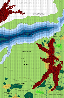


I also made a couple of changes to the map of the Orcreich and eastern Suhfang, in response to a bit of feedback I received on a mountain range name (thanks!) and as expected the result of seeing the two maps side-by-side. The revised version is above and is now linked over to the right in the “free downloads” section.
I’m now firmly into the territory depicted on the map from the 2001 Chainmail game, which led me to include a spur of the mountain range I call The Reins. It doesn’t exist in the DA #1 map, but it’s most definitely there in the Chainmail map, so I added it. It does add a bit of interest to a fairly dull map. The city of Haven up in the valley between the High Khanate and the Orcreich has nothing to do with the product from Game Lords back in the 1980’s, but I do find the name evocative and thought that was a good place to put a lawless town of renegade humanoids and horse-nomads. It’s purely my own invention; I don’t think there’s any canon source for what might be up there.

Speaking of the Chainmail map, it does imply that the whole of Suhfang is wooded. I’m taking that a little less than literally, and interpreting it so that Suhfang has scattered woodlands throughout its length.
Next up: I move south again, covering the Celestial Sea, the southern coast of Suhfang, Dragons Island, and northern Erypt. This map might take a little more time than this last one, because it’s going to involve research as to the geography of Erypt, as envisioned by François Marcela-Froideval in his Chroniques de la Lune Noire.
And the gazetteer has not been forgotten, promise!
____________________
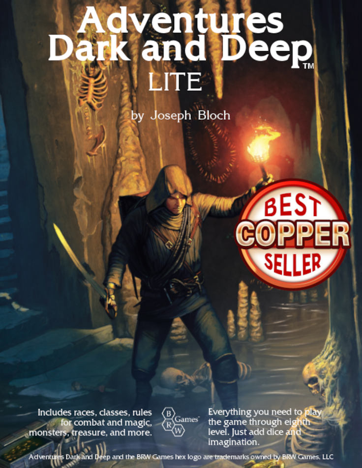
Also, please take a minute to check out the Adventures Dark and Deep Kickstarter campaign. Help make the ADD rules supplement, suitable for use with all 1E-compatible games, a reality!


This is SPECTACULAR stuff! Can't wait to see the gazetteer (I know I spelled that wrong). 8)
Now to convince the missus that this is actually great eclectic wallpaper for our spare room!
+1 to that! Just how big is this map gonna end up once it's finished? The mind boggles. 😀
Very awesome.
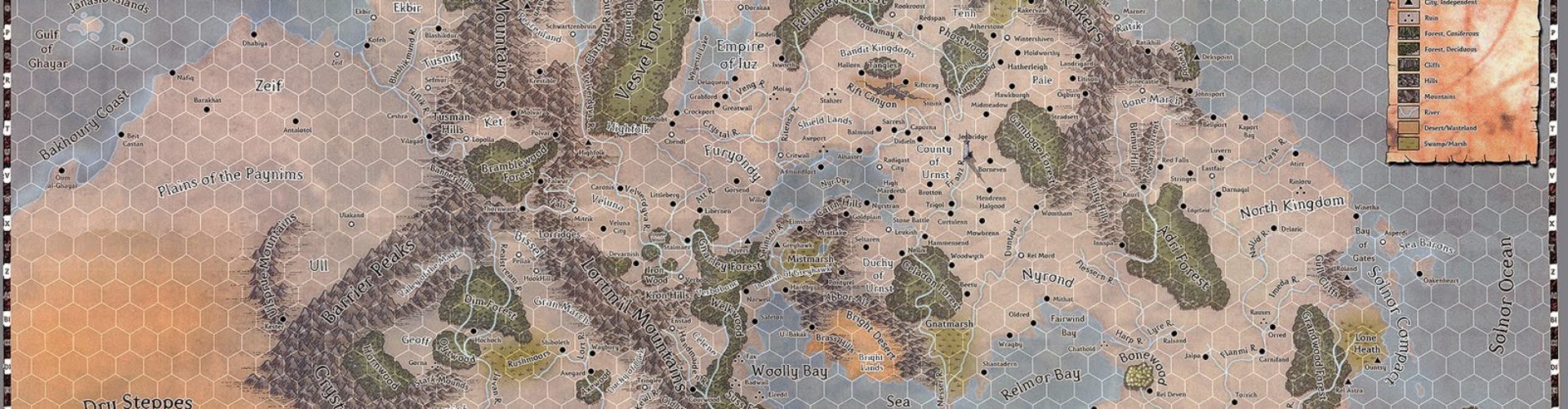
Where did you get the Darlene-style icons for Hexographer?
Red: They're built-in to Hexographer (even the free version). Look at the "Map Items" tab for the mountains, hills, and forests. The swamp and desert just reuse the Mystara Gazetteer style icons on the "Terrain" tab.
Actually that's not entirely true, Joe. I did have to make a number of custom icons, which I was able to then import because I have the pro version of Hexographer. The city/town symbols, for instance, plus the volcanoes and a special sort of mountain that matches the more red color that I use and can be used to do the mountain peaks that stick up past the northern edge of the mountain ranges. I did them in a combination of MS Paint and GIMP. Nothing special, but they get the job done.
For swamp, I actually use the symbol for the grasslands. I thought it looked closer to the Darlene original.
But yes, most of the symbols and terrain hexes come with the software. You need to play with them sometimes, though, to get them to look and act properly.