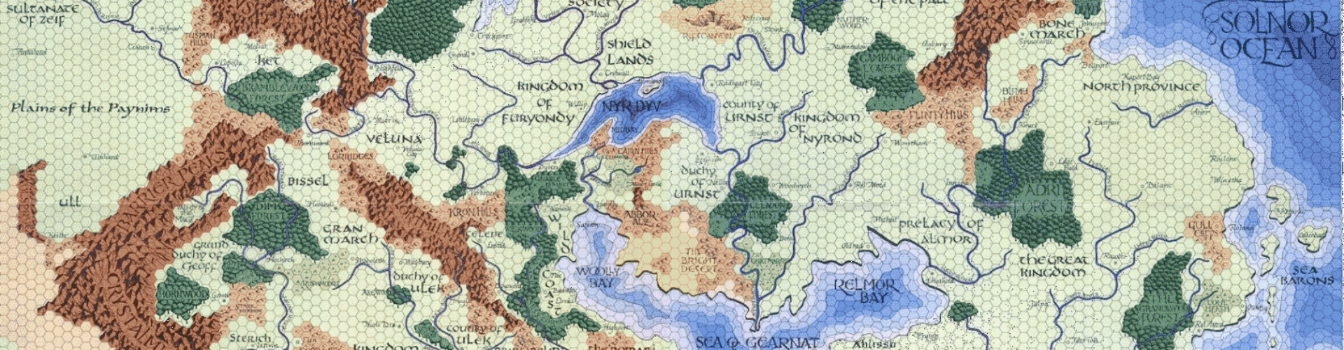
Now we really start getting to the heart of the Sundered Empire; the elven Empire of Ravilla (a collection of gray elf city-states in the open land, and wood elf settlements in the large woodland I call the Deepingwood) and the dwarven People’s Republic of Mordengard. Tucked away in the southeast corner of the map are several of the numerous human, gnome, and halfling lands and settlements that sprang up when the Empire of Ravilla withdrew to consolidate its borders (hence the name of the setting). I also made some substantive changes to the Naresh map to reflect the fact that Ravilla’s borders should go all the way to the mountains. Here they are side-by-side:
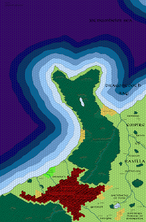
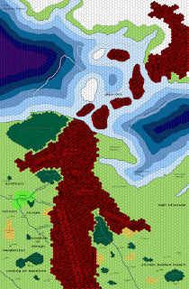


As always, click to embiggen, and the links to the latest, greatest, and largest versions are over to the right in the “Free Downloads” section. Up next: another turn southwards, getting most of the rest of the Disputed Regions, the Elvanian forest (the upper reaches of which are in the southwest corner of the current map), Drazen’s Horde, and down as far south as eastern Lhynn and the Tribes of Enlaves (and even a bit of fabled Ishtarland, land of the two rivers).


Your maps are great. I'm not much of a software cartographer myself, I prefer to use pencil and paper, but I really enjoy a nicely done computer map. Keep it up.